
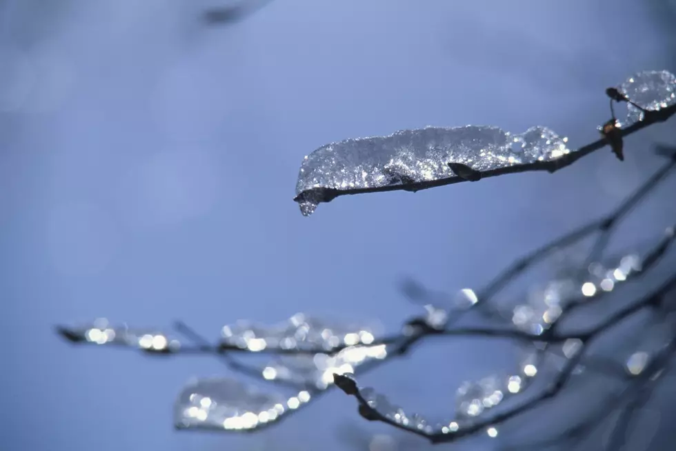
National Weather Service: A La Niña Winter Season Very Possible
Winter will be here before you know it and it may be a rough one, according to the National Weather Service.
The National Weather Service issued a press release Thursday (September 10th), stating that "La Niña conditions are present and are likely to continue through the Northern Hemisphere winter." According to their findings, the chance we will continue to see these conditions into winter is about seventy-five percent.
La Niña is characterized by "unusually cold ocean temperatures in the Equatorial Pacific," according to NOAA. So what does this mean for the winter ahead? For Minnesota and Wisconsin and the surrounding regions, we are looking at a very cold winter. NOAA reports that when the phenomenon occurs, winter temperatures are cooler than average in our neck of the woods.
In terms of snow, we may be looking at more than average this winter season. MPR reports there is "a slight bias for above-average snowfall across Minnesota during La Niña winters." Yikes.
As of now, there is a La Niña Advisory in effect. The average La Niña event typically lasts from nine months to a year but can also be as long as two years, according to NOAA.
As if this news wasn't cringe-worthy enough, there is more evidence to support the fact that it could be a rough winter. Justin Liles, the Chief Meteorologist at WDIO, shared this interesting tidbit on his Facebook page earlier this month:
Ahhhh! Only time will tell what is going to happen but it is hard to deny cold, hard facts. This is 2020 after all so I wouldn't be surprised if we saw a very cold, snowy winter.
By the way, the Old Farmer's Almanac is predicting a mild, light winter ahead with above-average temperatures and wet conditions for our region. Meanwhile, the Farmers' Almanac is forecasting the opposite. The publication is calling for a cold winter with above-average snowfall for our region.

10 Reasons You Should Love Winter In The Northland
More From B105


