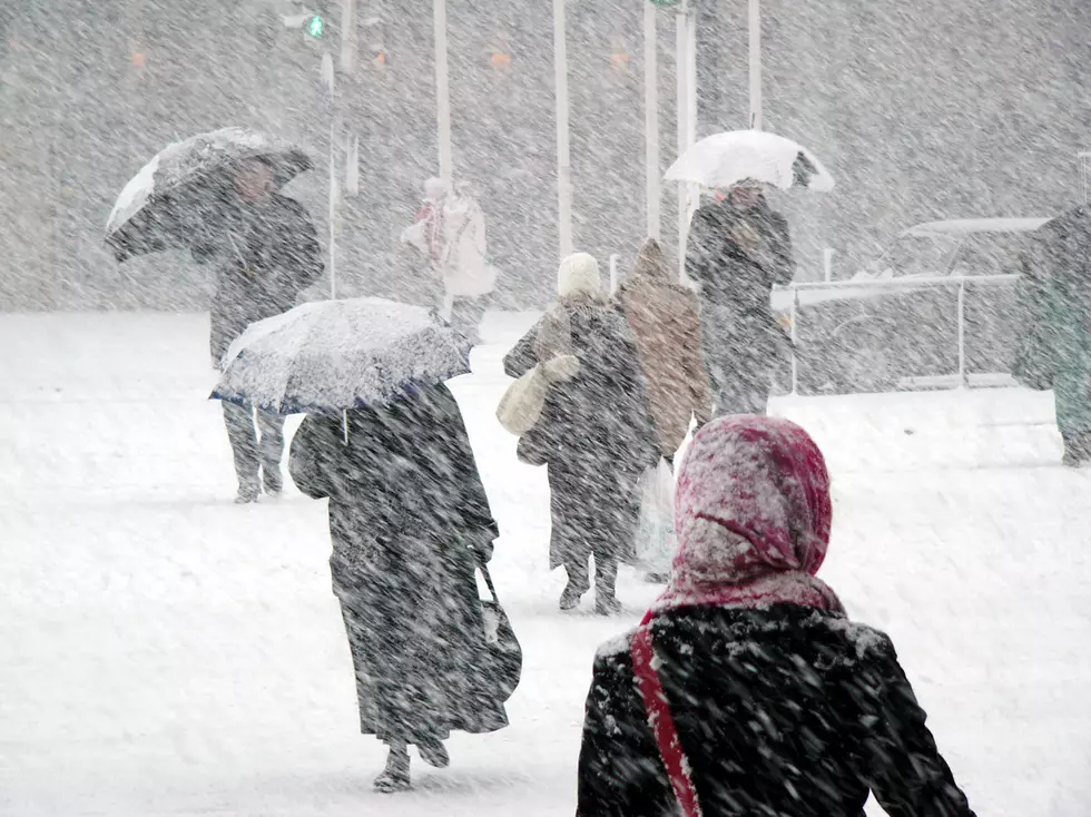
First Chance Of Accumulating Snow This Saturday For Northland
Update 10/15/20: The National Weather Service has updated the forecast and believes they have a better idea of what this system will bring. Saturday will begin with snow and change to a rain/snow mix. It looks like the Twin Ports area could receive 1-2" of snow, while areas further north could see 2-3 inches or more of snow.
Original Story: The National Weather Service Duluth Office is saying that we may have our first chance of snow on the ground this weekend for the Northland. According to a Facebook post, some areas could see 2 inches or more on the ground.
Models indicate a low pressure system will move through the region. At this point it's not clear precisely where the system will track through, so they are unable to pinpoint localized areas that will be affected.
We spoke with morning meteorologist from WDIO Brandon Weathers today, and he said it's just too early to know for sure if we will get snow. Saturday does bring the best potential for snowfall, and we will have to wait and see how this low pressure system tracks into the Northland. Temperatures will drop down into the 20s in Duluth on Friday night. Highs on Saturday look to be in the mid to upper 30s.

Of course snow in October isn't a surprise here in the region. I asked Brandon about if we normally do see accumulating snow in October. He said on average in Duluth we see about .6 of an inch of snow accumulation by the end of the month.
While we wait to see what mother nature brings us, it's a good time to get yourself prepared for the season. If you haven't already, dig out those hats and gloves and boots. Make sure you have your ice scraper in your car, and start adding the no freeze windshield washer fluid. It may have been a record setting 80 degrees last Friday, but snow is on it's way soon.
10 Words & Phrases You Will Only Hear In Minnesota And Wisconsin
More From B105


