
NWS Duluth Issues Winter Weather Advisory As Roads Turn Slippery
For mid-January, the weather in the Northland on Monday was very strange. It's not often we have rain showers during this time of year, but that is what we experienced today.
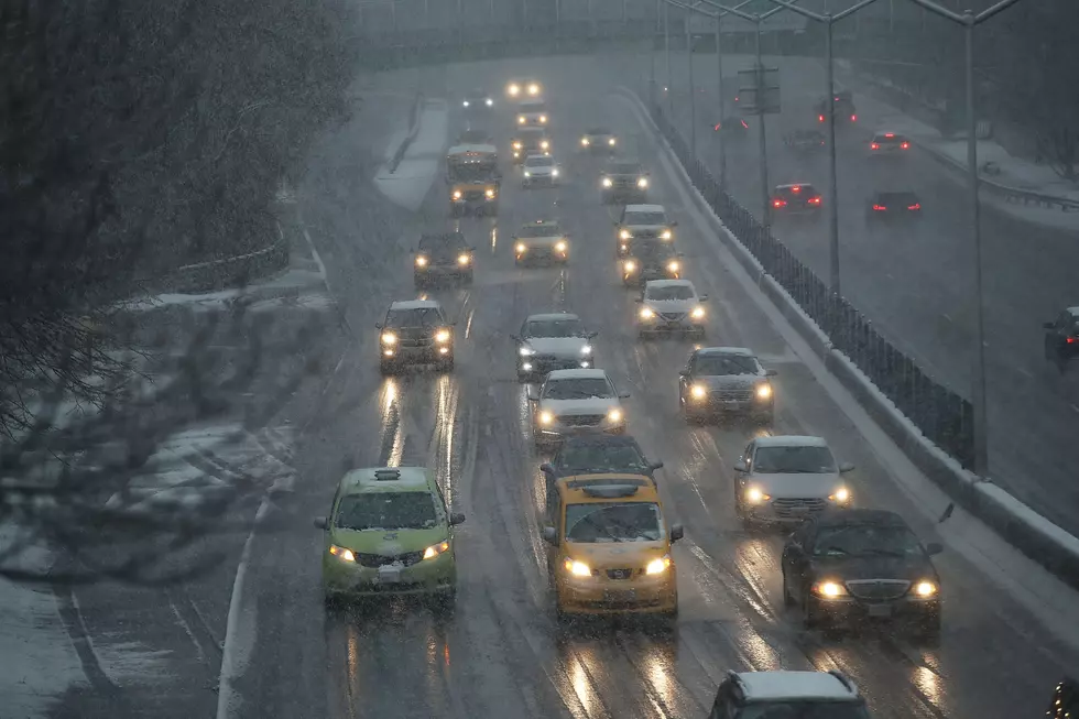
Of course, as the temperatures drop that rain changes to snow. The problem is that things get nasty during the in-between phase when ice develops. That is what is occurring Monday night and as driving conditions deteriorated, the Nation Weather Service issued a Winter Weather Advisory for the area.
The Winter Weather advisory is in effect until 8:00 a.m. Tuesday morning. It covers the Duluth/Superior area as well as International Falls, Ely, Bigfork, Hibbing, Walker, Grand Rapids, Pine River, Brainerd, Hill City, Aitkin, Pine City, and Hinckley:
- WHAT: Snow and freezing drizzle. Additional snow accumulations
of up to two inches and ice accumulations of a light glaze. - WHERE: Portions of east central, north central, and northeast Minnesota.
- IMPACTS: Plan on slippery road conditions. The hazardous conditions could impact the morning commute. Slow down and use caution while traveling.

Monday night at 9:30 p.m., the National Weather Service posted on Facebook to alert residents that road conditions were becoming a problem.
If you must travel Monday night into Tuesday, remember you can check the latest road conditions by calling 5 1 1. Road conditions can also be found at 511mn.org for Minnesota or 511wi.gov for Wisconsin.
Also, please drive with caution and allow for extra travel time throughout your Tuesday morning commute.
As for the rest of the week, temperatures should remain cold enough where freezing rain and ice won't be an issue. Here is the extended forecast from our media partners at WDIO-TV:
- Wednesday: Mostly cloudy. High 25. E wind 5-15 mph.
- Thursday: Mostly cloudy with a chance for snow. High 25. NNE wind 10-15 mph. Chance of snow: 50%
- Friday: Mostly cloudy. High 23. NW wind 5-10 mph.
- Saturday: Mostly cloudy. High 24. W wind 5-15 mph.
- Sunday: Mostly cloudy. High 28. SW wind 5-10 mph.
LOOK: The most extreme temperatures in the history of every state
Gallery Credit: Anuradha Varanasi
KEEP READING: Get answers to 51 of the most frequently asked weather questions...
More From B105


