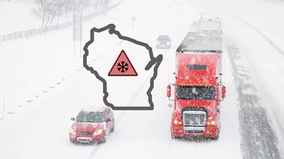
Snow Coming Again To The Northland On Tuesday Evening
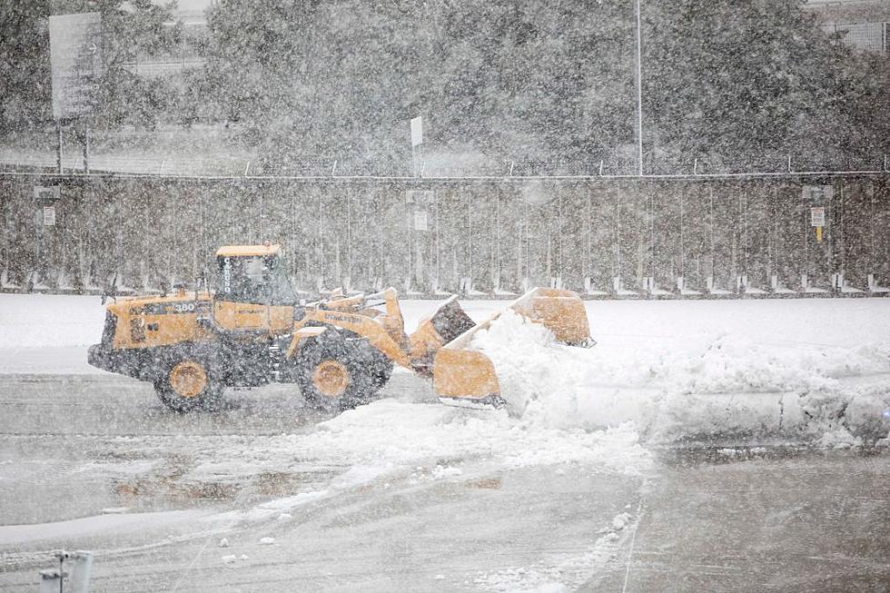
Last week we had one heck of a blizzard with heavy snow and wind. It appears we have another storm this week entering the Northland, but it's not expected to be nearly as severe. The National Weather Service has been keeping an eye on this since last week, and as we are getting closer, they are feeling more confident on their forecast models.

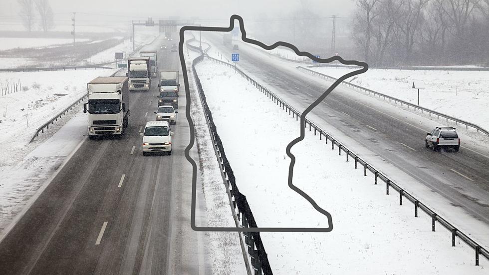
They expect the storm to bring 1-3 inches of snow over Northern Minnesota. North Central Minnesota, including the Duluth/Superior area is expected to see 2-5 inches of snowfall. They call their confidence "medium" at this time, but they think the heaviest snow will stay out of the Northland.
I spoke with WDIO Good Morning Northland Meteorologist Brandon Weathers, and he expects the snow to arrive on Tuesday Evening, and concurs with the 2-5" accumulations.
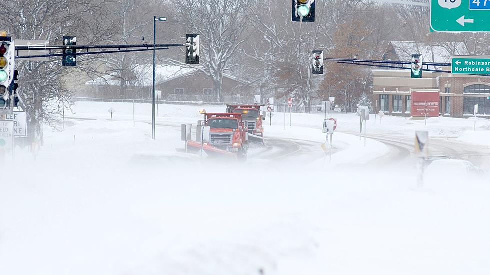
Travel could be difficult on Wednesday morning, so give yourself some extra time on the roads. Fortunately, it shouldn't be as bad as last Wednesday's blizzard. Some residents say it's the worst white out driving conditions they have ever faced living here. The City of Duluth issued a No Travel advisory. There were even enough accidents on the Blatnik Bridge that it had to be closed for a period of time. Bentleyville was so badly damaged that an emergency plea for help was made so they could open it up again.
Ahead of this storm, we'll see some pretty bitter cold lows Monday night below zero.
Twin Ports Roads To Avoid In The Winter
More From B105