
Official Winter Storm + Blizzard Warnings Issued For Minnesota + Wisconsin Ahead Of ‘Historic Storm’
Over last weekend, the buzz started about a potentially very snowy week in Minnesota and Wisconsin. The National Weather Service was tracking a storm to start the week, but the biggest concern was a potentially massive storm that was tracking to hit the region midweek.
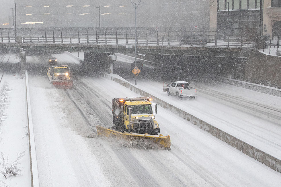
Well, Monday's storm was a bit of an inconvenience, but nothing too noteworthy for this part of the country. However, as the second storm continues to head our way, it appears it will live up to the hype, especially south of the Twin Ports area.

On Tuesday afternoon, the National Weather Service officially issued a Winter Storm Warning for the Duluth/Superior area that not only includes significant snowfall, but we will be facing very strong winds and dangerous cold:
WHAT: heavy snow expected. Total snow accumulations of 5 to 10 inches with local amounts up to 13 inches in Douglas County. Winds gusting as high as 40 mph.
WHERE: In Minnesota, Carlton, and South St. Louis County. In Wisconsin, Douglas County. This includes the Tribal Lands of the Fond du Lac Band.
WHEN: From 6:00 p.m. Wednesday, February 22 to 6:00 p.m. Thursday, February 23.
IMPACTS: Travel could be very difficult. Widespread blowing snow could significantly reduce visibility. The hazardous conditions could impact the morning or evening commute. The cold wind chills as low as 25 below zero could cause frostbite on
exposed skin in as little as 30 minutes.
ADDITIONAL DETAILS: The highest snow totals are expected along
and east of the Interstate 35 corridor in Minnesota and across
Douglas County.
Obviously, when those conditions are in play, travel is not recommended. If you must travel, keep an extra flashlight, food, and water in your vehicle in case of an emergency.
While that is certainly a notable storm for the Twin Ports area, this storm is currently tracking to become a "historic storm" for areas south of the Northland, including the Twin Cities area and into parts of Wisconsin, where over two feet of new snow could fall.
The National Weather Service Twin Cities/Chanhassen MN officially issued a Blizzard Warning for those areas of impact. Of course, the path of the storm could change, so everyone needs to be on alert over the next couple of days.
TIPS: Here's how you can prepare for power outages
LOOK: The most expensive weather and climate disasters in recent decades
Gallery Credit: KATELYN LEBOFF
More From B105


