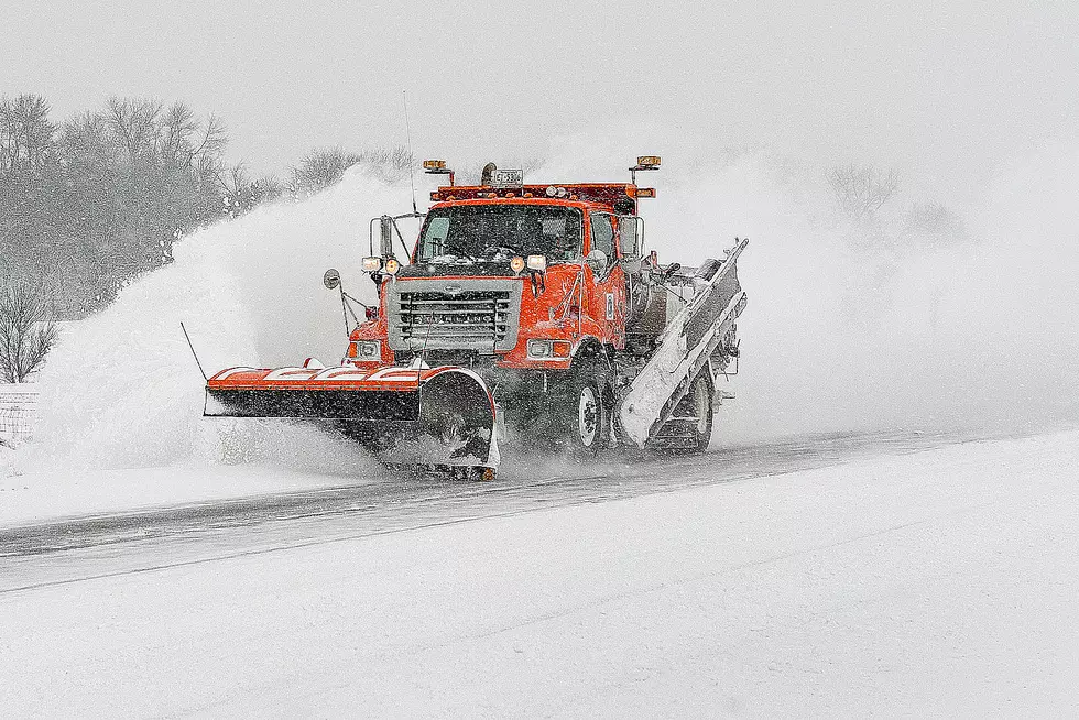
As Spring Arrives Measurable Snow Likely in Minnesota
UNDATED (WJON News) -- Spring will officially arrive on Tuesday, but we also have winter weather in the forecast for later this week.
The National Weather Service in Chanhassen says accumulating snow and travel impacts for parts of the region are looking likely on Thursday, but the exact location and amount of snow is still uncertain.
Chances for additional rounds of snow are growing for the weekend, but again the exact locations and amounts are still uncertain.
Meanwhile, the National Weather Service up in Grand Forks says low pressure will bring a period of snow into central into southeast North Dakota and west central Minnesota late Wednesday night through Thursday evening.

How much snow is uncertain, but a 60 percent chance of minor impacts leading to hazardous travel is forecast for southeast North Dakota and west central Minnesota.
So far this season, St. Cloud has officially had 13.6 inches of snow. Normally we'd have 40 inches by this point in the season. We're 26.4 inches below normal. Last season at this time we had 79 inches of snow.
Right now we are sitting at the second least amount of measurable snow on record in St. Cloud.
READ RELATED ARTICLES
- Radiothon Raises Over $33,000 For Quiet Oaks Hospice House
- Joetown Blocks Event Coming to Downtown St. Joseph
- World Food Tour: Nana's Asian Bistro in Sartell
- St. Cloud Has One of the Best Botanical Gardens
- Survey: St. Cloud Ideal Destination for Career Changers
Come Visit Lake Henry, Minnesota in Pictures
More From B105


