
Blizzard Warning! NWS Duluth Warns Twin Ports In Major To Extreme Storm Impact Area
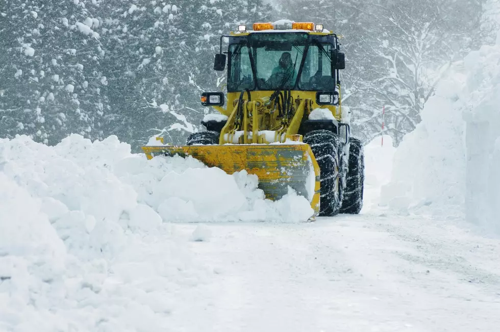
Tuesday in the Northland started with everyone experiencing the calm before the storm, but make no mistake, a major winter storm is still tracking to impact the Twin Ports area. In fact, a Blizzard Warning has been issued with some areas predicted to get up to 30 inches of snow.
The question, as is the case with every storm, is just how much will this storm will actually impact the Duluth area as there have been times in the past when storm predictions do not match what we actually experience.
As of Tuesday afternoon, the National Weather Service in Duluth is warning the area that Duluth and surrounding areas should prepare to face 'major to extreme' impact from this nasty storm.
They issued the warning on their Facebook page, along with a graphic showing that while most of the Northland would be in the 'moderate' impact area, the Duluth area wasn't trending as lucky. Duluth is currently in the major impact area.
The Winter Storm Severity Index (WSSI) creates a graphical depiction of anticipated impacts to society due to winter weather. Right now, a large swath of the area will see moderate impacts, with Major and Extreme impacts possible from the Twin Ports and northeast.

Major impact is defined as "travel conditions could be dangerous or impossible. Avoid travel if possible."
Extreme impact means travel will be dangerous or impossible and travel is not advised. Furthermore, extensive closures and disruptions to infrastructure may occur, such as power outages, road closures, etc. As of Tuesday afternoon, only areas northeast of Duluth were in the extreme impact area.
As for the timing of the storm, the National Weather Service expects it to start as a wintry mix Tuesday night, with heavy snow beginning after midnight.
Snow and a wintry mix push in tonight, with heavy snow expected overnight into Wednesday morning. Many places outside of the North Shore are expected to see a lull in snow tomorrow afternoon and evening but don’t be fooled! Snow is not over, with a second push of snow expected again overnight into Thursday morning, and light snowfall beyond that.
As they've warned along, this will be a long-duration storm with a second push of snow expected after initial accumulations.
To make sure everyone is prepared and taking this storm seriously, the National Weather Service has issued a Blizzard Warning for the Duluth area from 6:00 p.m. Tuesday all the way until 6:00 p.m. Thursday:
WHAT: Blizzard conditions expected. Total snow accumulations of
18 to 30 inches and ice accumulations of a light glaze. Winds
gusting as high as 45 mph.
WHERE: Southern Lake and Southern Cook Counties. This
includes the Tribal Lands of the Grand Portage Reservation.
IMPACTS: Travel could be very difficult to impossible. Patchy
blowing snow could significantly reduce visibility. The
hazardous conditions could impact the morning or evening
commute.
ADDITIONAL DETAILS: Heavy snowfall combined with strong winds
will cause snow loading on trees and powerlines. This will
likely cause power outages.
This will be wet-heavy snow, made even more dangerous by mixing with ice initially, not to mention the winds gusting high as 45 mph. Please prepare and error on the side of caution when it comes to travel.
10 Reasons Snow Is A Good Thing For Northland Winters
KEEP READING: Get answers to 51 of the most frequently asked weather questions...
More From B105


