UPDATE: Snow Totals Drop, Now Up To 8 Inches For Most Of The Northland
UPDATE 3/16/23:
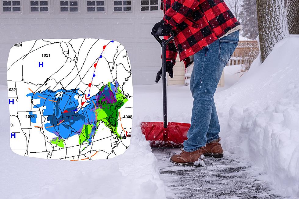
The National Weather Service of Duluth says snowfall totals in some areas have decreased a bit, including the Duluth area. Duluth may see between 6 and 8 inches, with 6 to 8 inches likely in Grand Marais and Silver Bay. Moose Lake through Hinckley can expect less with 4 to 6 inches possible.
The South Shore will be hit hardest with localized amounts up to 18 inches possible. Expect strong winds and hazardous travel conditions across the Northland as wintry mix turns to snow later in the day Thursday (March 16th) through Friday. There will be a slight break in the snow tonight in most places before picking up again later on.
UPDATE 3/15/23:
Earlier this week, the National Weather Service reported that a winter storm was possible for parts of Minnesota and Wisconsin and that it could bring significant snowfall to the area. Now, they have updated their initial report with snow totals and more details regarding the storm.
The National Weather Service of Duluth says we can expect up to a foot of snow in the area, from Duluth through Grand Marais. 6 to 8 inches of snow is possible south of Duluth through Hinckley. Up to 18 inches of snow possible along the South Shore. Whiteout conditions possible at times with dangerous travel conditions likely.
Original Post: 3/13/23:
It's been quite the winter and we still have a long way to go. We saw another significant winter storm over the weekend, one that brought over a foot of snow to many areas in the Northland. The heavy snow also helped us break a snow record in Duluth, one I would have been fine not breaking.
It looks like we will continue to have a record-breaking winter as yet another winter storm heads our way. While it is a bit to early to nail down specifics, the National Weather Service of Duluth says they have their eye on a system that could bring "significant snowfall and wind" to the area yet again.
According to initial reports from the National Weather Service, at the time of writing, this storm is set to move in beginning late in the day Wednesday (March 15th) and will continue into Friday evening.
While it is too early to say just how much snow will fall, the NWS is saying that "significant snow accumulation" is possible. We will also likely see a wintry mix of rain and snow this round and strong wind gusts.

Keep in mind, this storm is already on track to impact the Northland while our weekend winter storm wraps up! It has been a super active few months and I think I speak for everyone when I say that spring can not come soon enough.
Things are subject to change but as of now, the National Weather Service of Duluth says this storm has potential to bring some major snow and travel impacts so plan the end of your week and weekend accordingly for now. Things may die down a bit as we head into the second half of the week.
The significant snow we've seen so far this season is impacting more than just our patience. It is also impacting the deer population, which is already low in the area. Things like snow depth and back-to-back severe winters are a few factors that can impact the deer population.
10 Unique Activities To Take Up This Winter In The Northland
Things Every Northlander Needs During Winter
More From B105


