
MnDOT Has Issued A No Travel Advisory On Multiple Minnesota Highways
As the highly anticipated winter storm continues to target portions of northern Minnesota and northwest Wisconsin, both the National Weather Service and the Minnesota Department of Transportation have done a good job providing updates for residents within the areas of impact.
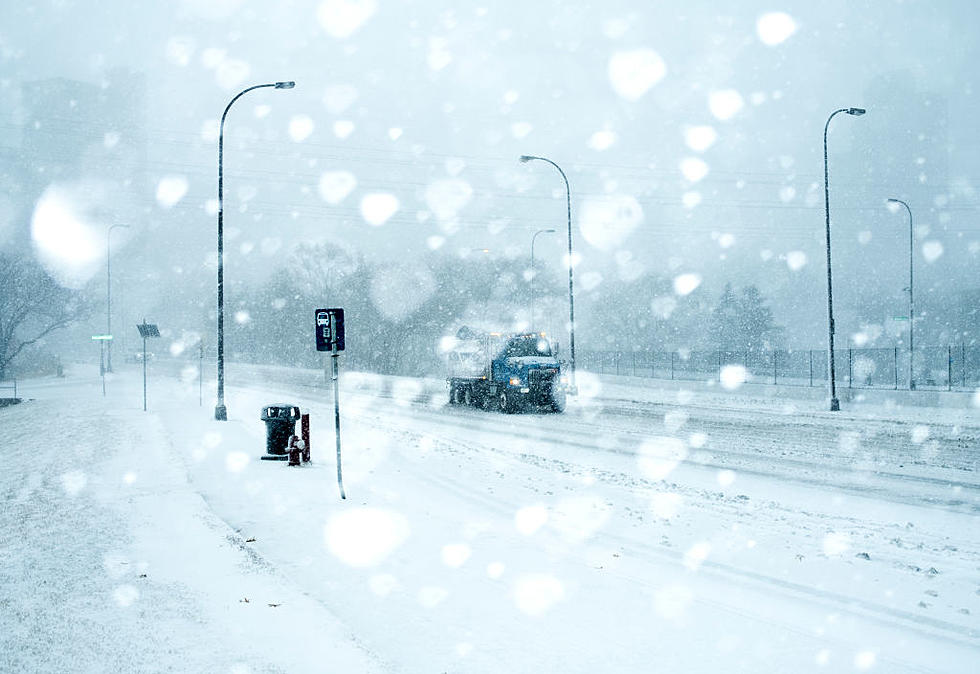
For the Twin Ports area, roads have become slippery to the point where an SUV actually crashed into a house Tuesday afternoon. As slick as things are getting in the Northland, those who were hoping to travel outside of the area should be aware that roads are in even worse shape in other parts of Minnesota.
In fact, the Minnesota Department of Transportation has issued a No Travel Advisory for multiple highways in northwest Minnesota due to blizzard conditions. The best way to keep track of which highways are impacted is to visit 511MN.org.
You'll see many highways in northwest Minnesota with the color purple, meaning travel is not advised. For example, the following warning currently exists for Highway 2:
There are warnings of white out conditions. Expect blowing snow. The road is slippery. Visibility is reduced. Visibility is one-tenth of a mile or less.

Motorists are advised to remember that road conditions shown on 511MN.org only reflect state highway conditions. Be sure to check with your county, city, and township for their road conditions and travel guidance.
For the Twin Ports area, many highways are currently colored pink on the map, with reports of heavy ice on roadways. If things continue to deteriorate, that pink color could turn purple like the highways in northwest Minnesota. It's best to continually check road conditions if you must travel during this storm.
MnDOT adds that snowplow operators will do their part to make highways safe across the state and motorists should remember to:
- Stay alert for snowplows, which turn or exit frequently and often with little warning
- Stay back at least 10 car lengths behind the plow. Don’t drive into a snow cloud.
- Slow down to a safe speed for current conditions.
- Turn on your headlights and wear your seat belt.
- Turn off the cruise control.
- Be patient and remember snowplows are working to improve road conditions for your trip.
- Don’t drive distracted.
The Twin Ports area remains under a Winter Storm Warning until 7:00 p.m. Wednesday with a dangerous combination of sleet and snow continuing. The sleet may lower snow accumulation totals in areas, but it is equally dangerous.
What makes this storm unique is that as snow and mixed precipitation continue in northern Minnesota, the National Weather Service is expecting thunderstorms to move in over northwest Wisconsin Tuesday night. Severe thunderstorms are possible.
The good news is that warmer weather will be here as soon as this weekend and we can pretend this never happened.
TIPS: Here's how you can prepare for power outages
LOOK: The most extreme temperatures in the history of every state
Gallery Credit: Anuradha Varanasi
More From B105


