
Minnesota Winter Storm Warning: Up To A Foot Of Snow Possible In 30 Cities
Well, what is there left to say at this point other than stay warm? All week long, meteorologists have another winter storm that was to impact Minnesota and it has arrived.
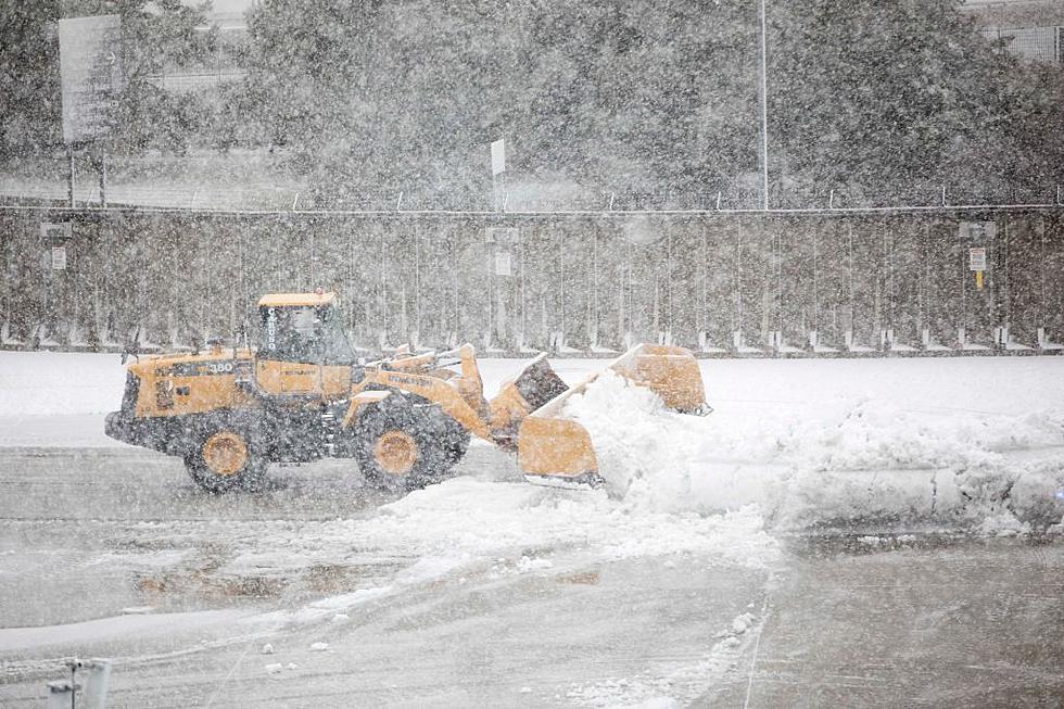
While it seems the worst of it will not impact the Twin Ports area, Duluth did at least get enough new snow to set a new season record. Yay. While the Duluth area is still a windy, snowy, and icy mess, the worst of this storm appears to be staying north of the area.
Early Thursday morning, the National Weather Service issued two Winter Storm Warnings covering several northern Minnesota counties, including a total of 30 cities that could see a foot of new snow.
The first Winter Storm Warning is for north central and northwest Minnesota, including the cities of Crookston, East Grand Forks, Hallock, Karlstad, Lancaster, Roseau, Warroad, Greenbush, Baudette, Warren, Stephen, Argyle, Newfolden, Middle River, Grygla, Red Lake, Redby, Ponemah, Thief River Falls, Red Lake Falls, Fosston, Fertile, McIntosh, Erskine, Bagley, Clearbrook, and Bemidji:
- WHAT: Heavy snow expected. Total snow accumulations of 6 to 12 inches, with locally higher amounts possible. Winds gusting as high as 45 mph.
- WHERE: Portions of north-central and northwest Minnesota.
- WHEN: For the Winter Storm Warning, from 1 PM this afternoon to 4 AM CDT Friday. For the Winter Weather Advisory, from 4 AM Friday to 1 AM CDT Saturday.
- IMPACTS: Significantly reduced visibility from heavy snow rates and accumulating snow will make travel very difficult. The hazardous conditions will impact Thursday and Friday commutes.
- ADDITIONAL DETAILS: With ongoing flooding and water-filled ditches, vehicles may slide off the road into very cold water. There remains a notable degree of uncertainty in snow amounts and associated impacts.

A second Winter Storm Warning was also covering several counties and includes the cities of International Falls, Ely, and Bigfork:
- WHAT: Heavy snow expected. Total snow accumulations of 6 to 12 inches. The highest amounts are from International Falls and points west.
- WHERE: Koochiching, North St. Louis, and North Itasca Counties. This includes the Tribal Lands of the Bois Forte Band, Deer Creek, and, Nett Lake areas.
- WHEN: From 7 AM this morning to 1 PM CDT Friday.
- IMPACTS: Travel could be very difficult. The hazardous conditions could impact the morning or evening commute.
- ADDITIONAL DETAILS: A wintry mix may occur at times this morning into early afternoon. The heaviest snow is to occur Thursday afternoon into Thursday night.
- PRECAUTIONARY/PREPAREDNESS ACTIONS: If you must travel, keep an extra flashlight, food, and water in your vehicle in case of an emergency.
As Minnesota areas south of the warning zone, including Duluth, there is currently a Winter Weather Advisory for Northern Cook and Lake, Southern Lake, Southern Cook, and Carlton, and South St. Louis Counties. This includes the Tribal Lands of the Grand Portage Reservation and the Fond du Lac Band.
This portion of the Northland is currently expected to receive continued mixed precipitation with additional snow accumulations of 2 to 5 inches and ice accumulations of up to two-tenths of an inch. Strong winds will persist, gusting as high as 50 mph.
The Winter Weather advisory is currently in effect until 7:00 a.m. Friday, April 21.
Remember, the latest road conditions can be found by calling 5 1 1 as well as through 511mn.org.
Things You'll Never Hear Someone In The Twin Ports Say In The Springtime
TIPS: Here's how you can prepare for power outages
More From B105


