Minnesota DNR Using AI + Trail Cams For Deer Survey In 6 Permit Zones
The Minnesota Department of Natural Resources announced a new research project that will span for the next 3 years to study the deer population. They say it will improve their understanding of deer populations in the forested region of the state.
Trail Cameras On Public & Private Land
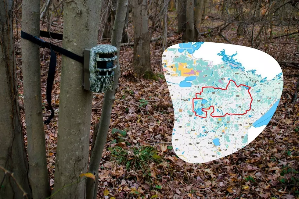
Starting this month, DNR researchers will contact private landowners by mail in preselected locations. They'll be asking for askes to install an unbaited rail camera. Then, they will collect the time-lapsed data from July through September. They will remove the trail cameras before the start of the fall hunting season.
Each year the researchers will place cameras in different locations to capture data.
Read More: 'Fewest Hunters' I've Seen In My Career + Even Fewer Deer' - DNR CO Reports
What zones will the research project cover?
The DNR has historically relied on hunter-harvest data for traditional deer population modeling. In some parts of the state, they do aerial surveys. According to an article from WDIO, the DNR says that it's not possible to do aerial surveys in the forested region of Minnesota. That includes permit areas 169, 176, 177, 178, 197, and 679.
The survey will take part in portions of Cass, Beltrami, Itasca, Hubbard, and St. Louis Counties.

How is artificial intelligence being used for this project?
There will be a massive amount of data collected with time-lapse photography. The DNR says they will use machine learning and artificial intelligence to process the data. They used it before in studies in 2021 and 2023 with success. You can expect the results and the final analysis in 2027.
States with the most registered hunters
Gallery Credit: Meagan Drillinger
More From B105


