We Interrupt This Drought For The Worst Flooding Since 2012. How Did This Happen?
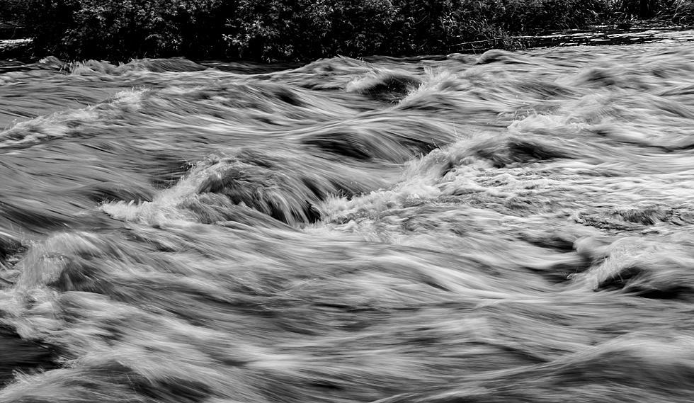
I like my eggs scrambled, not my seasons. The past few days have brought eye-opening rainfall amounts and seriously flooding to the Northland, in fact the Duluth office of the National Weather Service now confirms this was the heaviest 3-Day rainfall since the Great Flood of June 2012. How on Earth did this happen?
As is often the case, the flooding came about due to a convergence of factors. It may be premature for a meteorological post-mortem, but here is a short list of the atmospheric ingredients that may have contributed to seeing 1-2 month's worth of rain in 72 hours:
"Train Echo Effect"
When weather slows or stalls bad things can happen. When patterns become "stuck" things can quickly escalate. The heavy showers and thunderstorms over the weekend kept reforming over the same counties, and phenomena known as the train echo effect. Much like train cars pass over the same section of railroad track, storms kept redeveloping over the same towns, magnifying rainfall totals.
Drought-Hardened Soil
It's counterintuitive, but severe drought compacted topsoil in the area, and when the deluge arrived much of the rain ran off into streets and streams instead of soaking into the ground, accelerating run-off problems.

Over 7" near the French River? That works out to over 2 month's worth of rain. But most of metro Duluth picked up 4-6" of rain from Saturday through Monday, which is highly unusual for late September, when weather patterns tend to be drier. And weather models underestimated how heavy the rainfall amounts would be.
Is there something else going on? Yep. Because today, all weather is being flavored by a warming climate, including rainfall amounts.
10-12% More Water Vapor Overhead
What struck me, as a meteorologist, was the amount of water vapor available for the weekend storm, something you might expect to see in May or June, not September. Climate scientists confirm that a warmer atmosphere can hold more water, more "fuel" for storms to tap - in fact water vapor has increased by 10-12% in the last 50 years.
A Wavier, "Loopier" Jet Stream
Our planet is warming, but the observed rise in temperature is uneven. Far northern latitudes are warming much faster than southern locations, and that may be impacting the configuration of the jet stream, the high-speed river of air that pushes weather systems across the Northern Hemisphere. Jet stream winds are blowing slower, with a greater tendency for "blocking patterns", where weather slows or stalls for extended periods of time. This may have been a factor in our weekend deluge as well.
Clear as mud, huh? The answer is rarely black or white but usually some sloppy shade of gray. It's early, but the list above explains some of the factors in play.
Climate scientists were right: the dries are getting drier, and the wets are trending wetter. The extended outlook calls for more volatility and more weather extremes, both severe drought and severe flooding.
Our weather has always been extreme, but a warming climate is sparking more weather-weirding over time.
Welcome to the New Normal.
LOOK: The most expensive weather and climate disasters in recent decades
Gallery Credit: KATELYN LEBOFF


