Just as the sun was coming up this morning we had a severe line of thunderstorms sweep through. It was honestly one of the strangest colors of sky I've ever witnessed. Although the the camera doesn't quite match the reality of what we were seeing, this video gives you a glimpse of how strange it was.
We saw some sporadic scattered showers on Easter, and even some thunderstorms. Near Twig, MN I spotted what at first looked like a funnel cloud. The kids even started to panic.
Last Friday, after people had time to evaluate the extensive damage of the storm, we were asked to relay that a brush drop off center was open on Rice Lake Road. Starting on Monday, July 24 the City of Duluth will begin curbside pick up of tree debris.
The City of Duluth released an official storm response and restoration brief on Friday, updating the public on the city's recovery process and offering advice for debris removal and other resources. This brief will be updated with new information as things change.
Here are the highlights of the brief from Friday:
How is it that the worst storms are usually the ones that catch you completely off guard? That was the case in the early hours this morning. I woke up a little after 3 am, not realizing exactly what had woke me. A few minutes later I heard a slight rumble. Just a garden variety thunderstorm, I figured.
In a press conference at the Public Safety Building in Duluth, representatives from the City of Duluth, St. Louis County, and Minnesota Power updated the public on a number of things, including progress in restoring power.
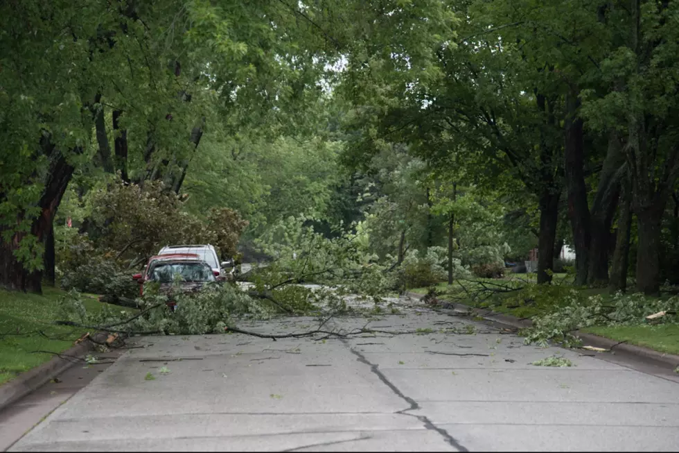
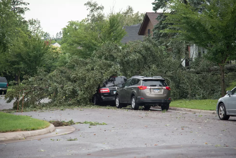
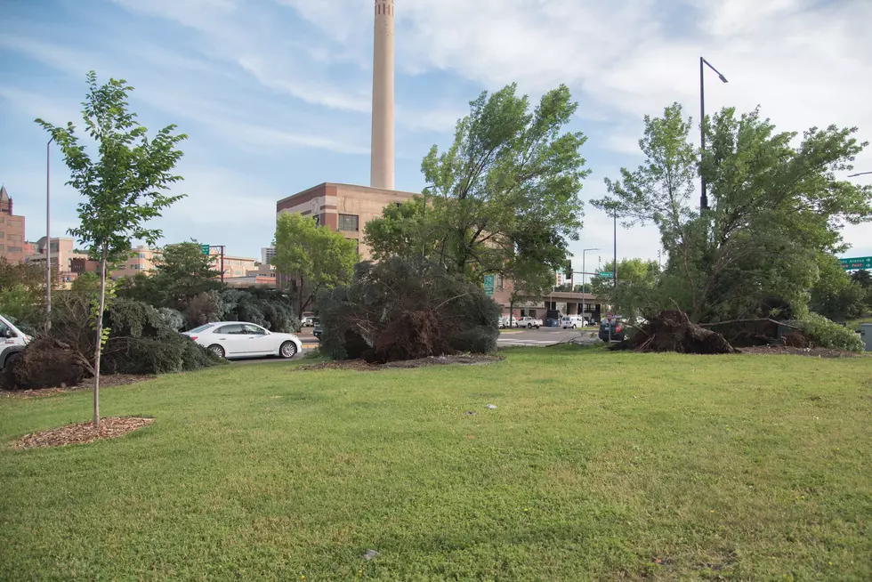
A powerful line of severe thunderstorms swept through Northern Minnesota, leaving a path of toppled trees, fallen power lines, property damage, and even tipped-over airplanes (see below). The National Weather Service in Duluth forecasted 70+ mph wind gusts as part of this storm system as it passed through the Twin Ports.


![Early Morning Thunderstorms Brought Strange Colors To Morning Sunrise [VIDEO]](http://townsquare.media/site/150/files/2017/09/Sunrise.jpg?w=980&q=75)