FEMA Hosting Duluth Open House Regarding Newly Revised Floodplain Maps
Anyone who has lived in an area designated to be in a floodplain knows that to be adequately covered wreaks havoc on your insurance rates. That's why everyone should take an interest in an event FEMA is hosting this week in Duluth.
The City of Duluth announced that FEMA (Federal Emergency Management Agency) officials will be in the Northland to review the recently-released preliminary Flood Insurance Rate Maps (FIRM). All landowners are encouraged to attend a meeting so they can learn more about the flood risk at their property and how the newly-revised maps may affect their need for and cost of flood insurance.
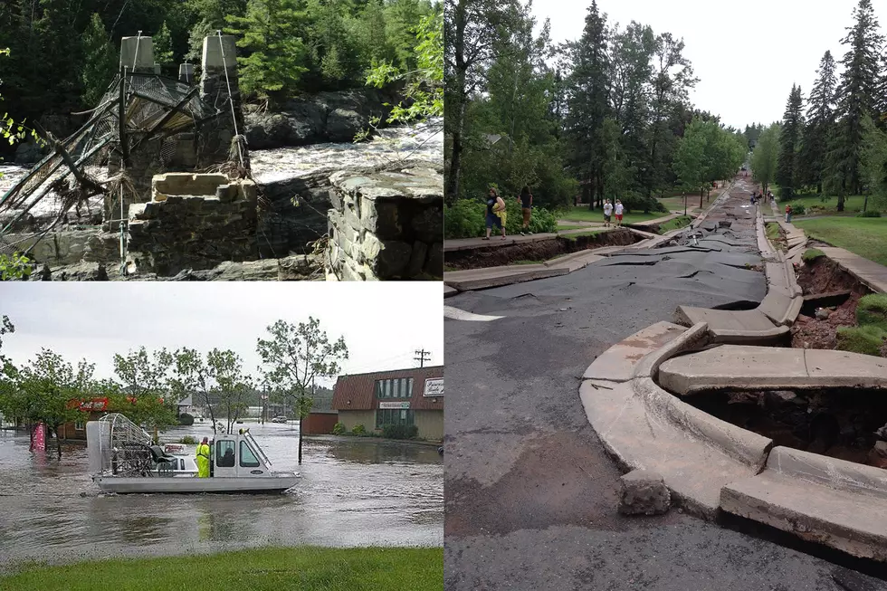
“Many of us remember the loss and disruption of the flood of June 2012 and the cost to clean up and restore homes, businesses, roads, and stream channels,” said Adam Fulton, Deputy Director of City of Duluth’s Planning and Economic Development Department. “No one wants to experience that again. Having accurate maps showing landowners the risk of flooding on their property will help people prepare for the next flood. Duluthians should review the information presented at the meeting and at our web page to learn more.”

FEMA will host the public meeting for all of south Saint Louis County on Thursday, Thursday, February 16, from 5:00 pm to 7:00 pm at the Saint Louis County Public Works Department, located at 4787 Midway Road, in the Pike Lake Conference Room.
Northland residents are encouraged to follow the button below to access the City of Duluth’s Planning and Economic Development Webpage for more information.
They can also access a subpage that allows landowners to locate their property on an aerial photo map with the floodplain designation. The web page also includes an explanation for each type of floodplain with links to Duluth’s Unified Development Chapter sections regulating construction in a floodplain.
The City notes that the web page will stay active following the public meeting so landowners can review maps and flood plain information during FEMA’s official comment period.

Once FEMA finalizes the maps, the City of Duluth will adopt the maps and related land use regulations, as required for FEMA’s National Flood Insurance Program (NFIP), which is the federal provider of flood insurance policies. It's important to note that flood insurance is a requirement for federally-backed mortgages on structures in areas designated as Special Flood Hazard Areas and Coastal High Hazard Areas
LOOK: The most expensive weather and climate disasters in recent decades
Gallery Credit: KATELYN LEBOFF
LOOK: The most extreme temperatures in the history of every state
Gallery Credit: Anuradha Varanasi
More From B105