Hurricane Michael: Here’s How It Will Impact Minnesota + Wisconsin
It was recently that we saw Hurricane Florence slam into the East Coast. Now, another hurricane is threatening the US Gulf of Mexico.
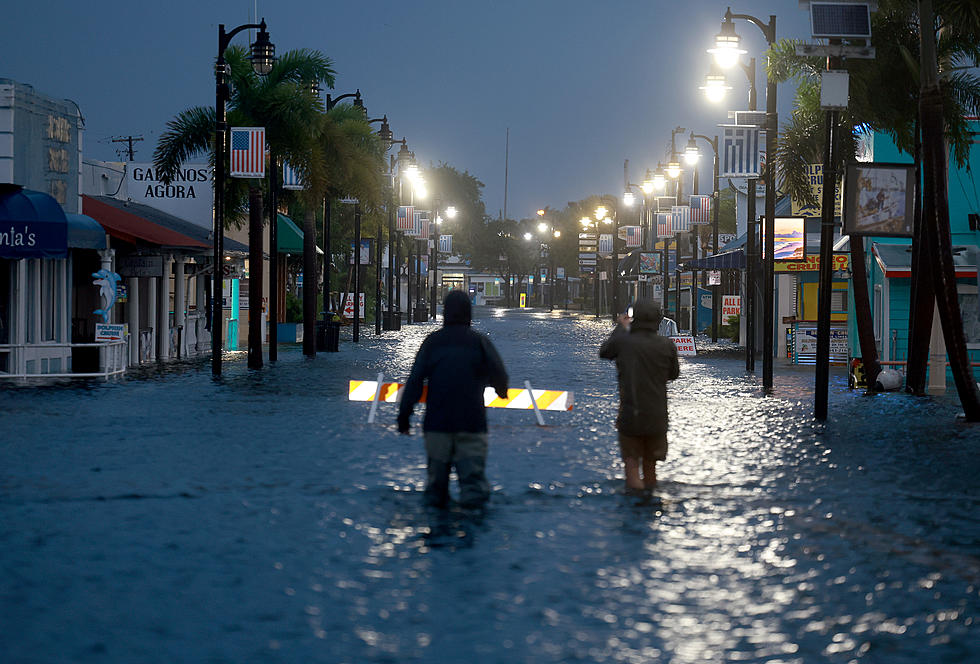
Hurricane Michael is expected to make landfall midweek and projected, as of Tuesday afternoon, to become at least a Category 3 storm by that time.
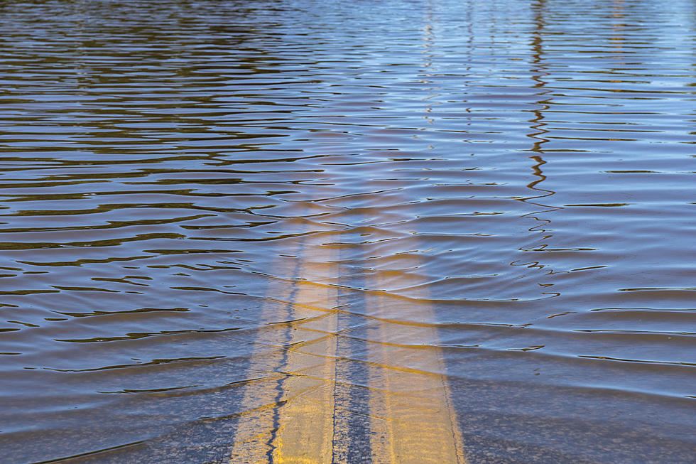
According to the Weather Channel, residents in the area can expect a "strong storm surge, damaging winds and heavy rain."
While we aren't exactly close to the targeted region, Minnesota and Wisconsin will still see an impact from Hurricane Michael this week, if indirectly.
To get more details, I reached out to WDIO Storm Team Meteorologist Taylor Dayton to see what we can expect as a result of this hurricane. Here's what he had to say:
Yes, we do have another hurricane, and yes it will impact us...indirectly. This will be very similar to what happened with Hurricane Florence. Hurricane Micheal, along with a high pressure system off the East Coast, will work together to slow down the movement of the current weather system over the Upper Midwest. Because of this, we will continue to see more rain and wet weather through the middle of the week until Michael finally moves away and our cold front can finally move farther to the East as well.
There you have it! We can expect more rain and a wet week until Michael clears. Until then, make sure you have an umbrella handy.
More From B105